

A potentially dangerous pilotage book error, cycling around Great Cumbrae, a windy sail to Troon, a circuit of Ailsa Craig in big seas, a crew change in Stranraer.
Light winds were forecast from the northeast, but coming out of Tarbert Loch it was not looking that way, we were greeted by 22 knot gusts and reefed judiciously. The forecast for the Clyde was highly variable and varied from inlet to inlet, we had discovered. You could be in mirror flat water and around the next promontory be looking at yachts heeled over, hull down and then prepare accordingly for the blow you could see coming. Sometimes you might be taken unaware by a katabatic out of nowhere, especially around Arran, or Ailsa Craig, so I was told. Wind against tide could create uncomfortable seas notably around the Mull of Kintyre but essentially anywhere with a current and a wind. That being said, when the wind picked up and filled the sails, with relatively flat water, Sipadan absolutely flew. Flat water sailing, the way Su Yin liked it.
We were headed for Milltown, on the island of Great Cumbrae. I read the instructions in the pilot book on my chart. There was a leading line to get into the harbour among the small outlying islets. This was shown on my chart plotter and confirmed in the Clyde Cruising Club pilot book. The problem was, there was a discrepancy with the Navionics on my phone, which appeared to show a thick yellow line between three of the islands. The route planner on Navionics was routing me inside the islets and not through the channel. In addition, there was a red port channel marker on Navionics that was not on my plotter or the pilot book, or the Imray chart.
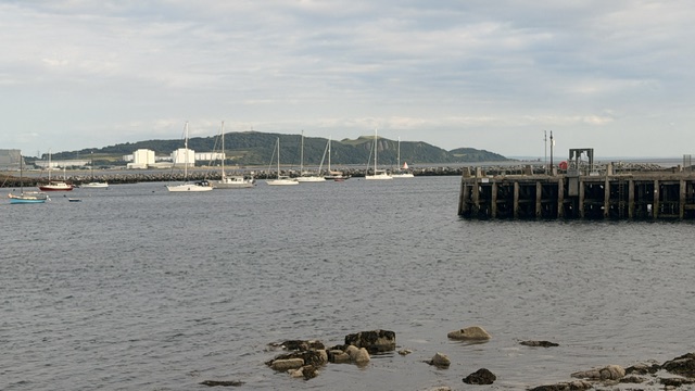
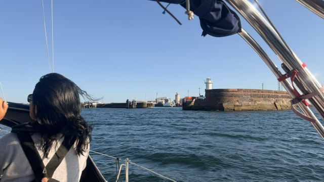
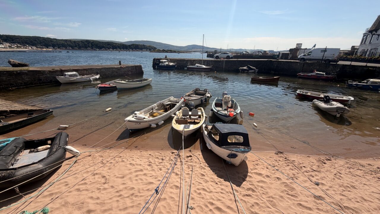
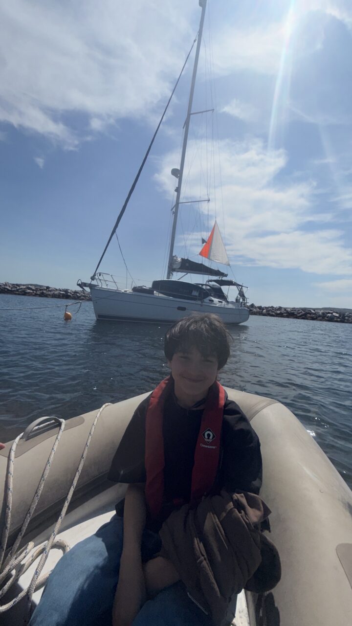
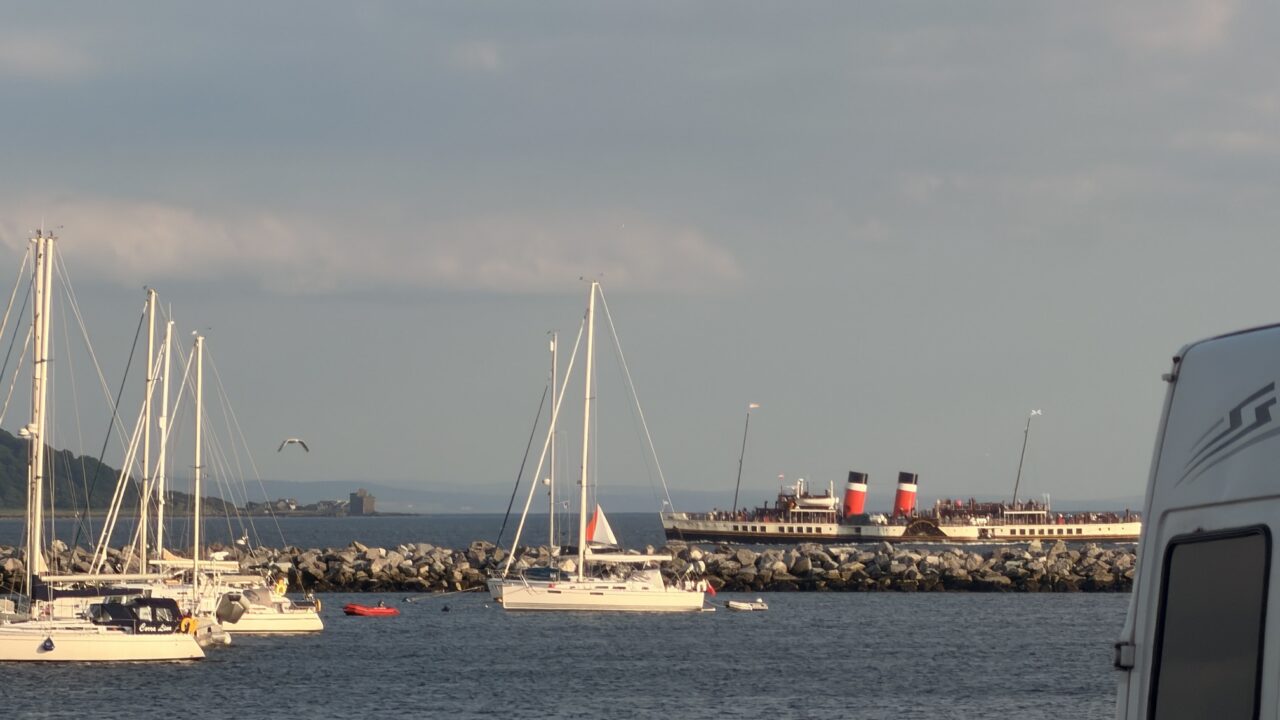
Once closer to the island, I could see a port marker that looked to be in the position indicated by the phone Navionics app. On this basis, I opted to ignore the plotter, chart and pilot book in favour of my little phone. Sure enough, there was a new breakwater with giant boulders piled up between the islets. This was part of a forty-eight million pound Millport coastal defence plan, started in 2023 and completed in 2024. The charts and pilot book had not yet been updated. That could have been a tricky night approach! The wind had picked up to 28 knots as we approached the mooring buoys making for a dicey approach. We picked up a buoy just inside the very breakwater that had almost caught us out, at least on the chart.
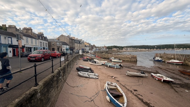
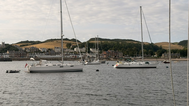
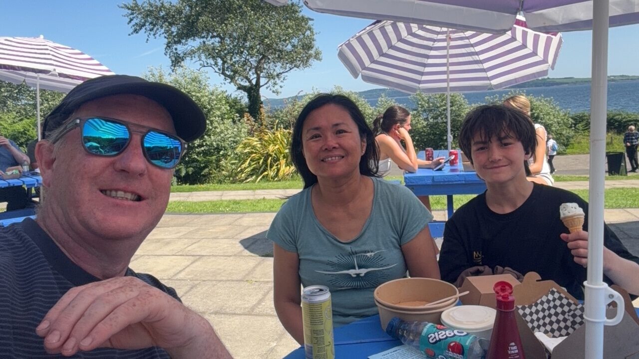
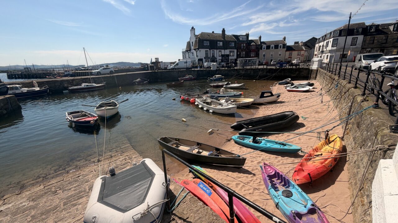
Millport was charming, although its rustic appeal was offset by its view of a large Hunterston nuclear power plant just across the Fairlie Channel. Between the Faslane nuclear submarine base and the Hunterston B reactors, the Clyde is a very strategic place and likely high up on a nuclear hit list! There was a lovely cafe called the Round Island Cafe Bar with large tables outside which they asked us to share with some Scottish tourists who were camping on the island, making for great chats about Scottish culture, independence, Brexit, the economy and lots of tips for cycling the island the next morning.
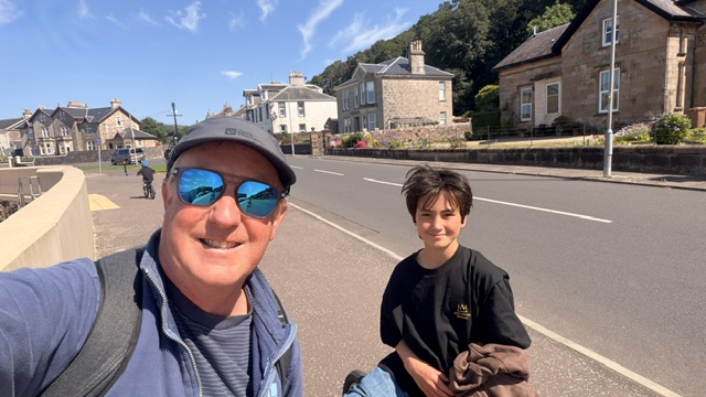
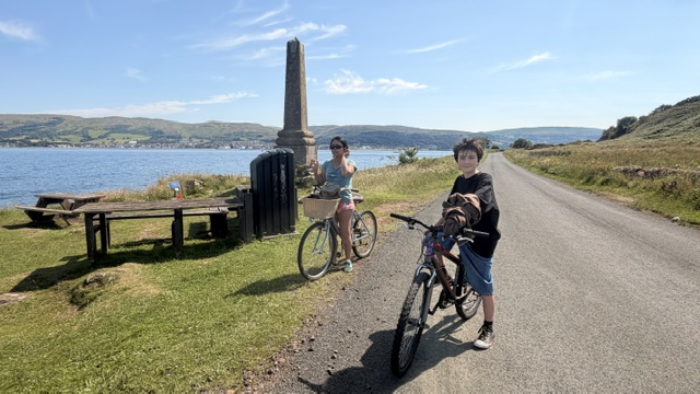
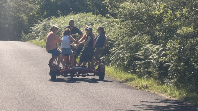
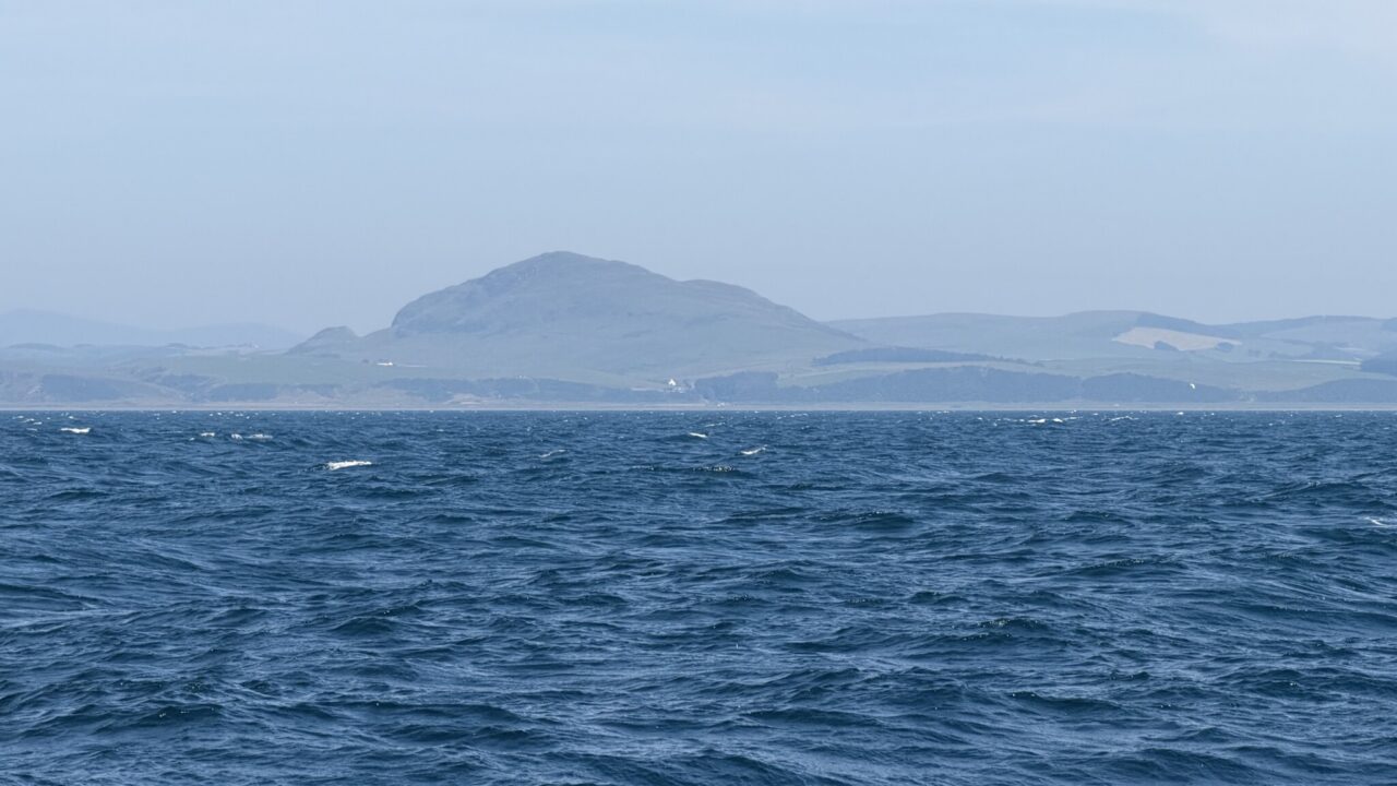
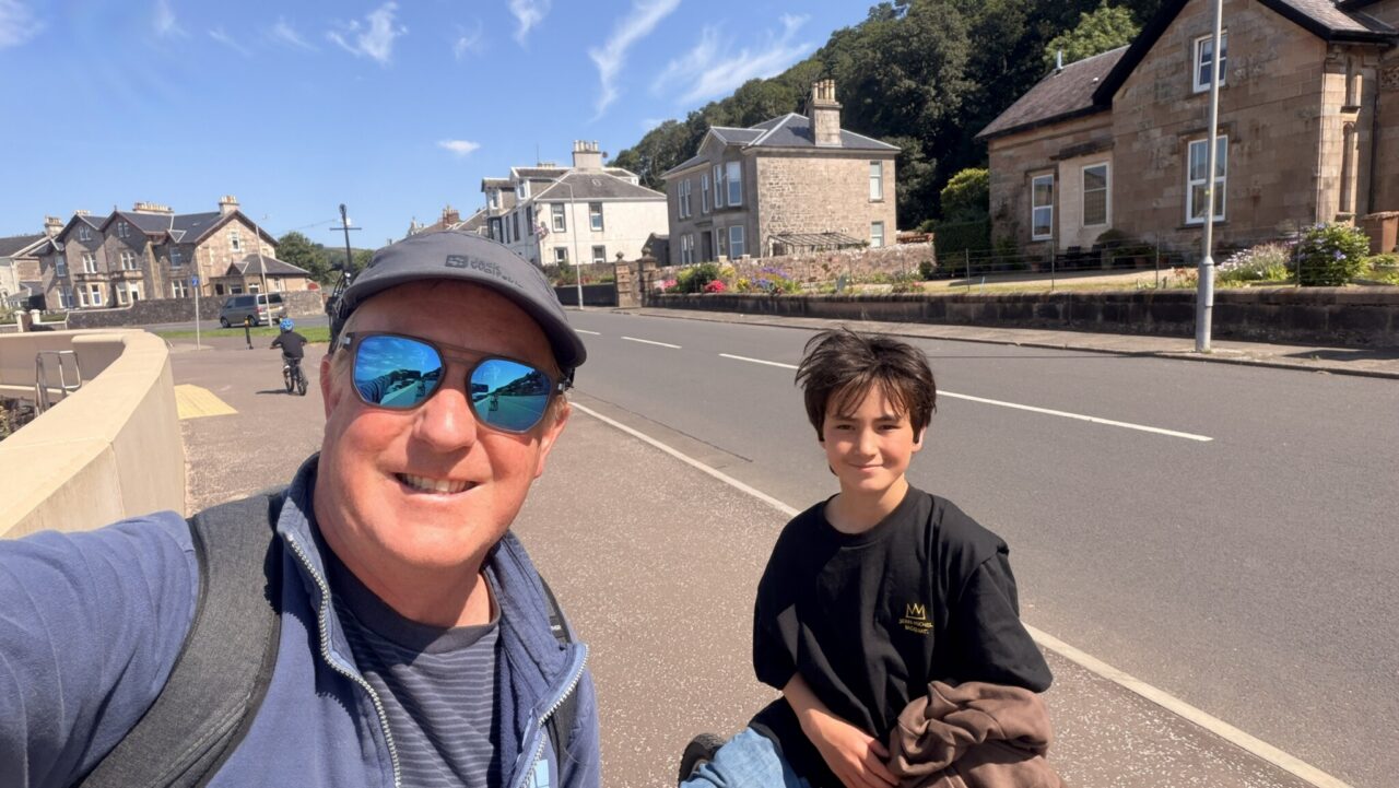
The next morning we were up and at it, cycling the ten kilometres around Great Cumbrae, which once out of the main town was very uninhabited, with two or three kilometres with no houses, just little rocky beaches facing north, up the Clyde towards Glasgow. We could see a yacht coming up the channel in flat calm waters bobbing along, while in the distance, we could see yachts heeled far over. You could see a line extending north from the island marking the separation. A little past the halfway mark, on the way back to Millport, there was a lovely restaurant with a terrace with lovely views of Arran and the Mull. Lunch over, it was onto Troon Marina, with another very windy sail, rocketing along the Clyde with flat water under her keel.
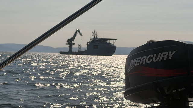
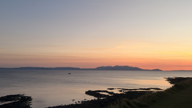
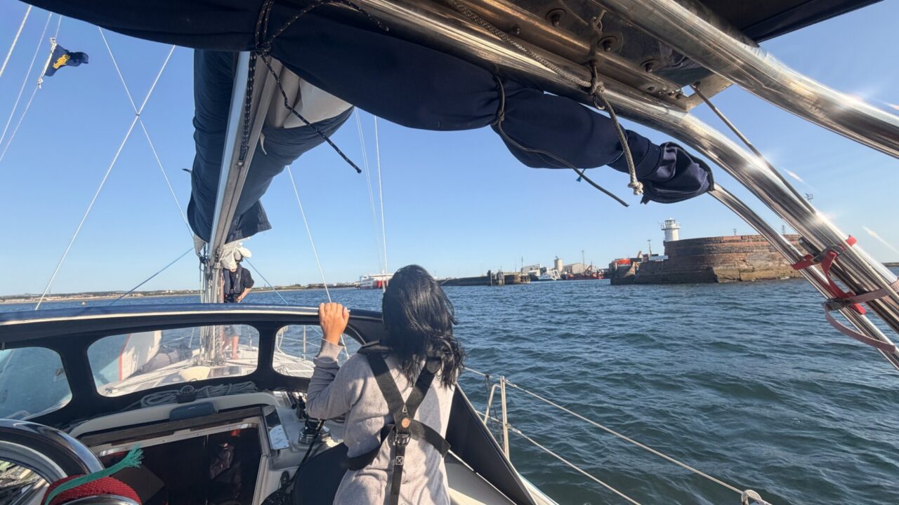
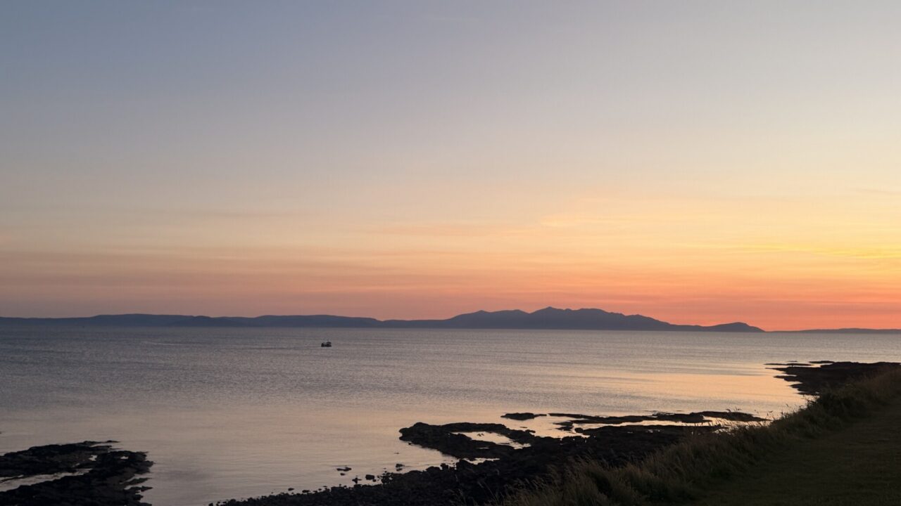
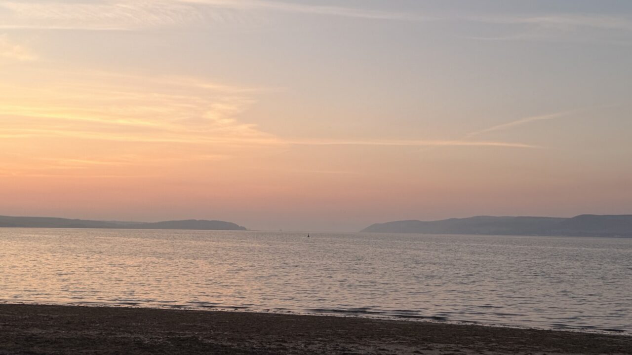
Coming into Troon, we passed a naval ship with a gigantic crane. This ship was the RFA Proteus, designed to launch ROVs onto the seabed to monitor and protect undersea cables from sabotage, another sign of the times. Troon was an industrial harbour on the outer part, with a huge timber mill, and ships delivering lumber. The marina was in the inner harbour and was very well appointed with a lovely restaurant overlooking the boats. The surrounding area seemed relatively deprived, a stark contrast to the opulence of some of the yachts and motor cruisers in the marina. There was a coastal park with a view of the beautiful sunset over the craggy mountains of Arran, with the Mull of Kintyre behind.
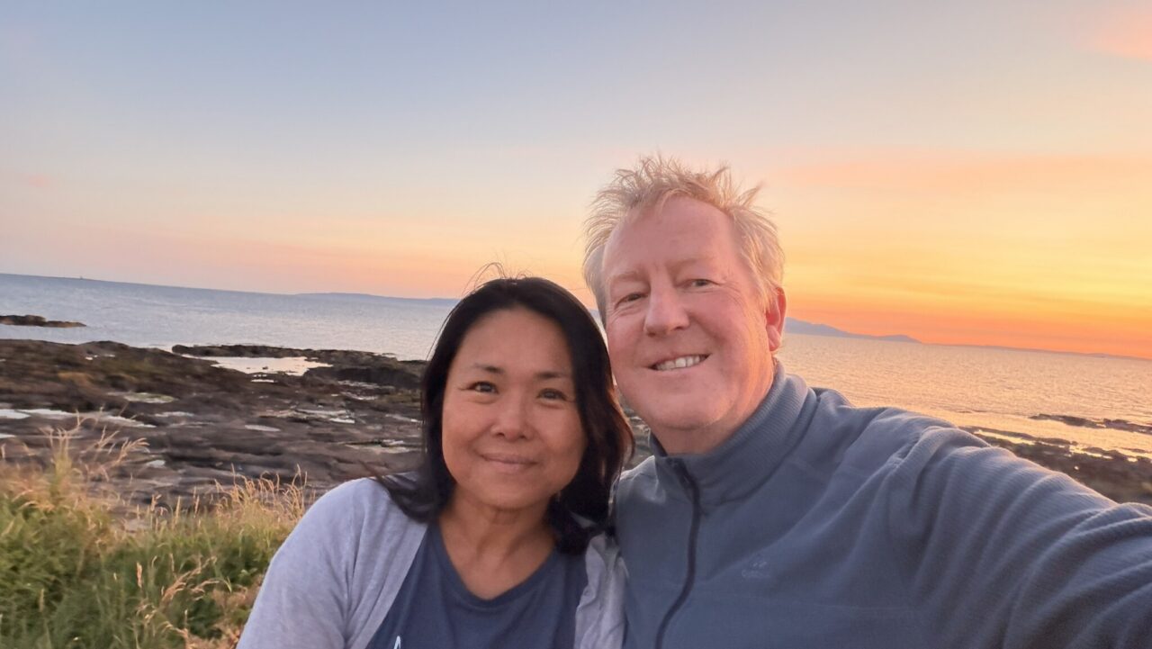
It happened to be our wedding anniversary so we treated ourselves to a meal in the marina restaurant, which was packed with preppy looking Americans, presumably playing Trump’s golf course nearby! The next day would be Su Yin’s last day of sailing and the beginning of our delivery trip, with Tomas and I planning to take Sipadan home to Dungarvan.
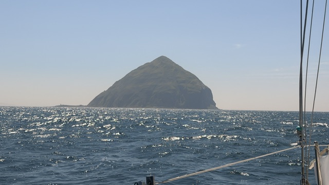
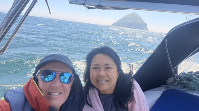
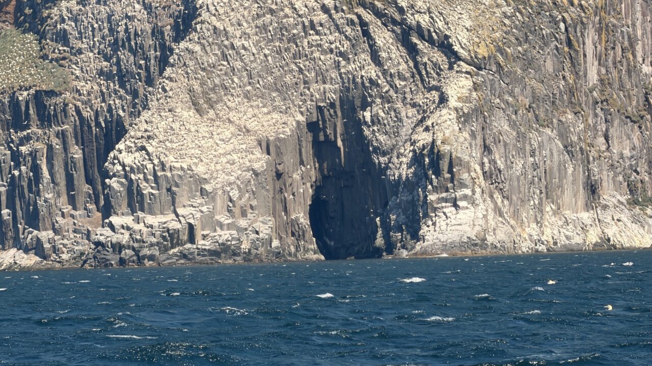
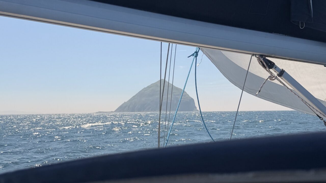
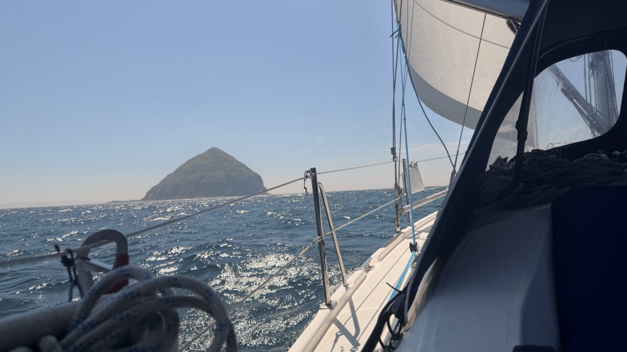
Leaving Troon, I decided that we couldn’t waste the opportunity to do a flyby of Ailsa Craig, otherwise known as “Paddy’s Roundabout”. As we approached the island, the seas got more and more confused and choppy, making it difficult to maintain our line. Ailsa Craig is very dramatic, rising sheer from the sea, and the sea and island, bathed in sunshine and an unearthly simmer, the closer we got. We rounded it from the west where we could see the basalt hexagonal columns, similar to the Giants Causeway across the North Channel in Antrim. You could almost believe the legend that it was created when Fionn Mac Cumhaill flung a huge rock at the fleeing Scottish giant Benandonner. Legend had it that the place the rock had been taken from became Lough Neagh, but I am not sure that the sizes match so I am not so sure that it is true.
There certainly was an other-worldly quality to Ailsa Craig, and given the big seas, we kept about a mile off, although racing yachts often go within two hundred meters or less of the island. It is safe to do so as there are no shallows, the sides of the island just as sheer underwater as above. Another reason to keep our distance was the downdrafts I had been warned about by local sailors, that can come out of nowhere suddenly, with wind speeds of 40-50 knots, enough to knock us flat. Clare and Donal had suggested that we try landing on the island if the conditions allowed, but given the steep uneven chop that showed no sign of abating despite the turn of the tide, conditions most certainly did not allow.
Stranraer Marina was an unknown quantity as I could not raise anyone on the telephone. The number provided went straight to Dumfries and Galloway Council, who ran the facility, but I could not raise a human on the phone. The big seas followed us all the way to the entrance of Loch Ryan, but suddenly, in the shelter of the loch, it was balmy and almost too hot. We prepared for anything and approached the little marina in Stranraer. We initially came into a berth which was a private berth, but one of the residents soon guided us to the visitor berths on the first pontoon.
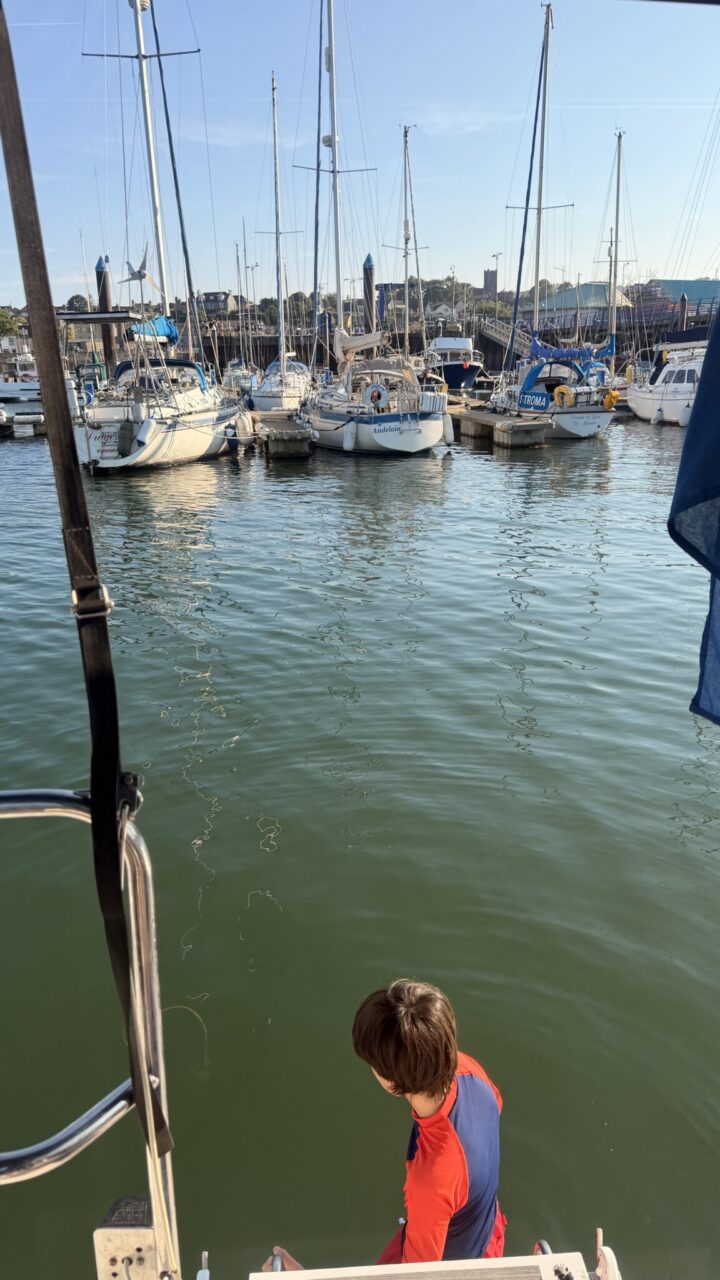
There were kids swimming off the boats on the pontoon and we soon joined them. Some of the old timers were complaining about some other local kids jumping off the nearby pier and swimming onto the marina and wondering if it happened elsewhere. No sooner had they said this than Jamesie sent a voice memo onto the Dungarvan Sailing WhatsApp group complaining about swimmers on the Dungarvan pontoon. So I guess it is a universal problem after all!